Search Results for 'Larry Hynes'
4 results found.
Commercial Boat Club, 150 years

As a result of a number of years planning by some enterprising young men, a meeting took place in the hall of the Mechanics Institute on this day, May 15 1875, one hundred and fifty years ago with the purpose of forming Galway Commercial Rowing Club. The resolution was formally proposed and seconded and unanimously adopted. The subscription was fixed at £1 which included the entrance fee and the annual sub. The following committee was elected – Laurence Carr, J St George Joyce, Morgan Lee, Thomas O’Gorman, Thomas Hogan, Thomas Hayes McCoy, Y Kean, James Maher, B Roche and Patrick Bodkin. In addition, 62 members enrolled.
Competitive rowing in Galway

Rowing ‘matches’ or ‘badge races’ have been taking place on the Corrib for about 170 years. Initially, when there was only one club, The Corrib Rowing and Yachting Club, competitions were confined to members. Then the Commercial Boat Club was formed in 1875, and a meeting was held to promote a regatta at the river beside Menlo Castle. This regatta proved to be a success and was a great boost to the sport of rowing.
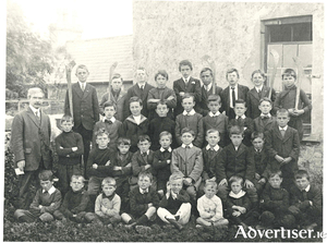
Bohermore and some of its people

On the 1651 map of Galway, Bohermore is shown as running from The Green (Eyre Square) to the present Cemetery Cross where the ‘Old Gallows’ was located. There was also a gallows ‘where justice is executed’ near the Green. To the left and right of Bohermore, the land was known as St Bridget’s Hill and the region around Prospect Hill was known as Knocknaganach (Cnoc na Gaineamh), the Sandy Hill.
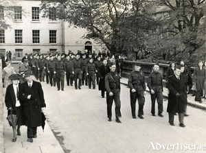
The Local Security Force

In the first years of World War II, the numbers of personnel in the army multiplied by between six and seven. The army began by calling up on permanent service part-time soldiers, ie, reserve and volunteer units. By early summer 1940, numbers had to double again. These new recruits had to be trained and this put a major strain on army resources.

